Copyright (c) 2018-2019 MakerPlane
pyAvMap is an open source moving map package for aviation.
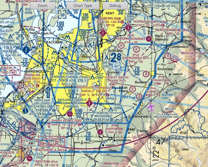
Example screen showing a Sectional type chart: 
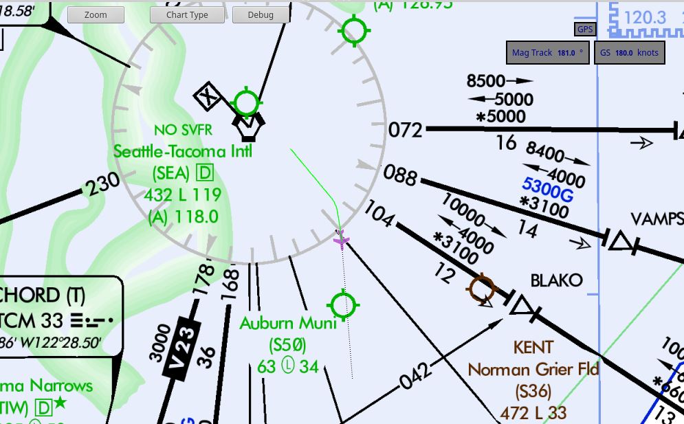
Example screen showing an low enroute IFR type chart: 
Begin by cloning the Git repository
git clone [email protected]:makerplane/pyAvMap.git
git clone https://github.com/makerplane/pyAvMap.git
If you’d like to install the program permanently to your system or into a virtualenv you can issue the command…
sudo pip3 install .
from the root directory of the source repository. Caution This feature is still in development and may not work consistently.
Download chart(s) from FAA website.
https://www.faa.gov/air_traffic/flight_info/aeronav/digital_products/
Unzip them into pyAvMap/charts/Sectional/<ChartName>   # Should include *.tif and *.htm and *.tfw(x)
cd pyAvMap/charts/Sectional/<ChartName>
pyAvMap/make_tiles/make_tiles.py <base_file_name> # e.g. "Albuquerque SEC 101"
rm pyAvMap/charts/Sectional/<ChartName>/*.tif             # after the tiles are created, you don't need the humongo tiff anymore
The above example is for sectional charts. Other directory names for other chart types are: 1. IFR 1. Jet 1. Terminal
Some IFR charts are laid out so that North is approximately in the width
direction rather than the height direction. L-01 and L-02 are examples
of this. In this case, add a second argument of “1” (the number without
quotes) to the make_tiles.py command line, and that will rotate the
chart so it’s oriented correctly.
The pyAvTools repo should be cloned adjacent to pyAvMap. You should use makerplane/pyAvTools.